Geodatabase with QGIS and PostGIS
The Geodatabase course is aimed at those who need to learn how to manage a geodatabase containing complex geographic data. The course also covers the use of PostGIS, a set of functions that enable complex geoprocessing within the database, displayed in real-time.
Basic knowledge of the SQL language is advised.


Course outline
-
Short introduction to Free and Open Source GIS
-
Advantages of using a database for GIS
-
Introduction to PostgreSQL
-
Initial database configuration: configuration files, server management
-
Introduction to PostgreSQL optimization
-
Introduction to PostGIS (Open Geospatial Consortium standard)
-
Geodatabases: structure and format of the data
-
Command line administration: psql
-
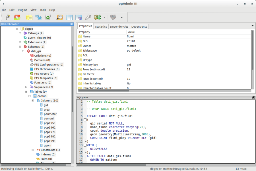
The graphical front-ends: QGIS, phpPgAdmin, pgAdmin 4, OpenOffice, etc.
-
Administration of the database and access to the data: role, user, group, permissions
-
Schemas, Tables, Views, and Functions
-
Creation of a geodatabase and the use of the GIS template
-
PostGIS and QGIS
- Properties, import/export, conversion between formats
- digitizing
- queries, advanced plugins, versioning, etc.
-
SQL spatial analyses: practical exercises, basic and advanced
-
Spatial indexes
-
Benchmarking
-
Advanced geodatabase functions
-
Spatial reference systems, conversions
-
PostGIS rasters
-
Backing up (dumping and restoring)
Length
16 hours split in 4 half days