Cartography with QGIS
To learn how to install and use QGIS, access and present the data, style the data and produce high quality layouts with high informative content.
Course outline
- Short introduction to Free and Open Source GIS
- Installation in different operating systems
- The work environment
- Work environment configuration
- Projection management
- Projects
- Plugins management
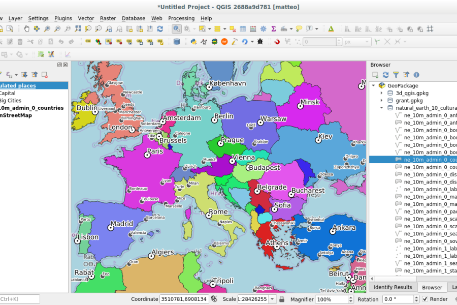
- Vector data
- Properties, import/export, conversion between formats
- Vector styles and labels
- Tables of attributes and actions
- Turn a table into a geographic layer
- How to use GPS units in QGIS
- Vector digitizing. CAD tools
- The geographic databases PostGIS and Spatialite and QGIS
- Add layers from map servers: WMS, WFS, WFS-T, CSW, WPS, OpenLayers,* Google Maps
- Importing photos as points
- Exporting data directly to Google Earth
- Raster data
- Properties and styles
- Coordinate reference systems management and mosaics
- Georeferencing
- Creation of animated maps
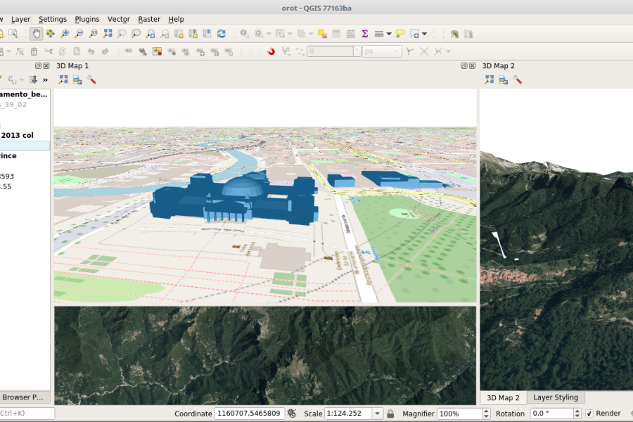
- 3D visualization
- Advanced layouts/printing; serial printing (mapbooks)
Length
16 hours split in 4 half days